I realise that I am a bit late to the party, but I just noticed the paper by Mladenova et al (2020) which outlines a new SMAP-based soil moisture dataset, where the resolution is increased from 0.25°x0.25° (roughly 27-28km at the equator) to 10km by “assimilating soil moisture retrievals from the Soil Moisture Active Passive (SMAP) mission into the USDA-FAS Palmer model“.
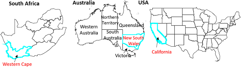
The researchers tested the new dataset in three areas: California (USA), the Western Cape (South Africa) and New South Wales (Australia), as all three areas experienced a drought since the SMAP satellite has been operational.
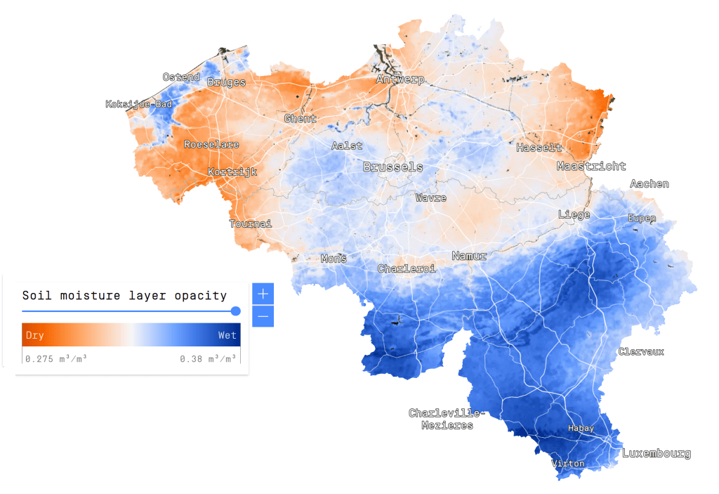
Soil moisture is an often overlooked dataset, especially due to the often terribly low spatial resolution. Perhaps this enhanced dataset will result in an increased usage of the data. The increased spatial resolution is, in my opinion, a big improvement:
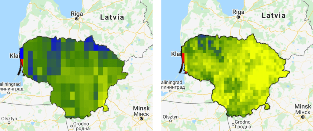
Here I used Lithuania used an example, with data from 2017-2018.
As you can guess from the two images above, the enhanced dataset is available on Google Earth Engine.
If you want to see the (to my knowledge) only high-resolution soil moisture product in existence, check out the Dutch remote sensing company VanderSat. Their product is based on passive microwaves, and has a spatial resolution of just 100m.
The NASA-USDA soil moisture product generated from the SMAP-enhanced Palmer model can be found here: https://gimms.gsfc.nasa.gov/SMOS/SMAP/.
