Here I will post examples of maps and other images that I have created. Feel free to ask about how certain elements were created, and I can make a post about it.
I will update this post when I have new content to show.
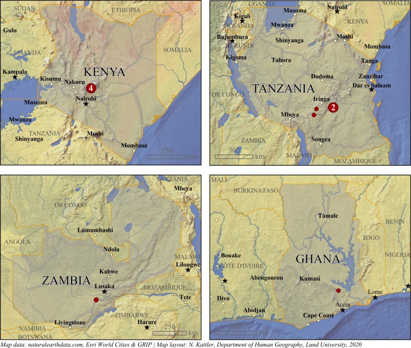
Locations of villages in a study. Created using ArcGIS Pro. 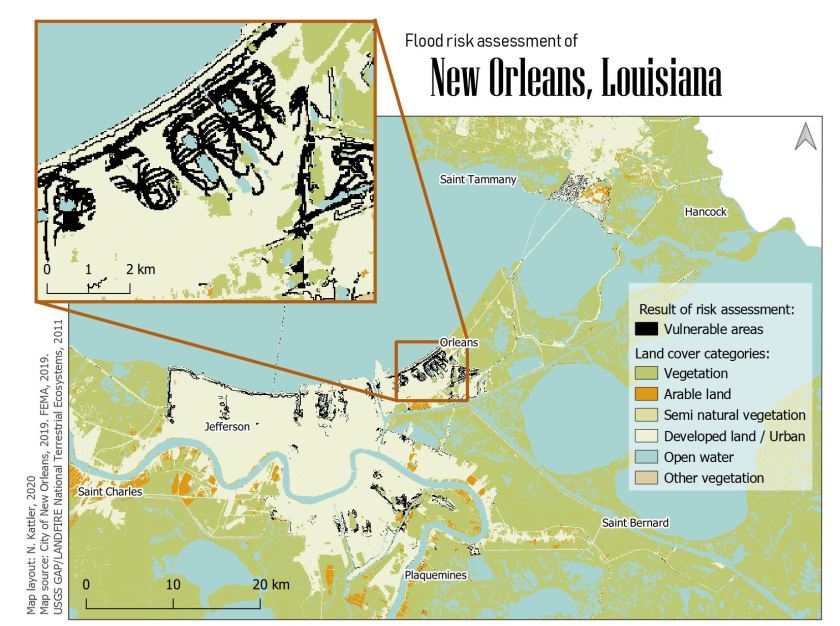
Areas vulnerable to floods in New Orleans, Louisiana. Created using QGIS. 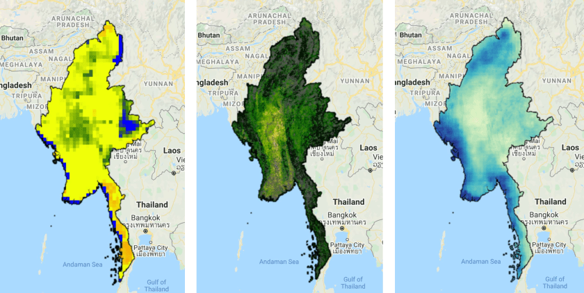
Soil moisture, evapotranspiration and precipitation. Created using Google Earth Engine. 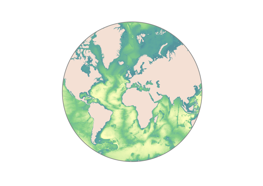
Seafloor bathymetry. Created using ArcGIS Pro. 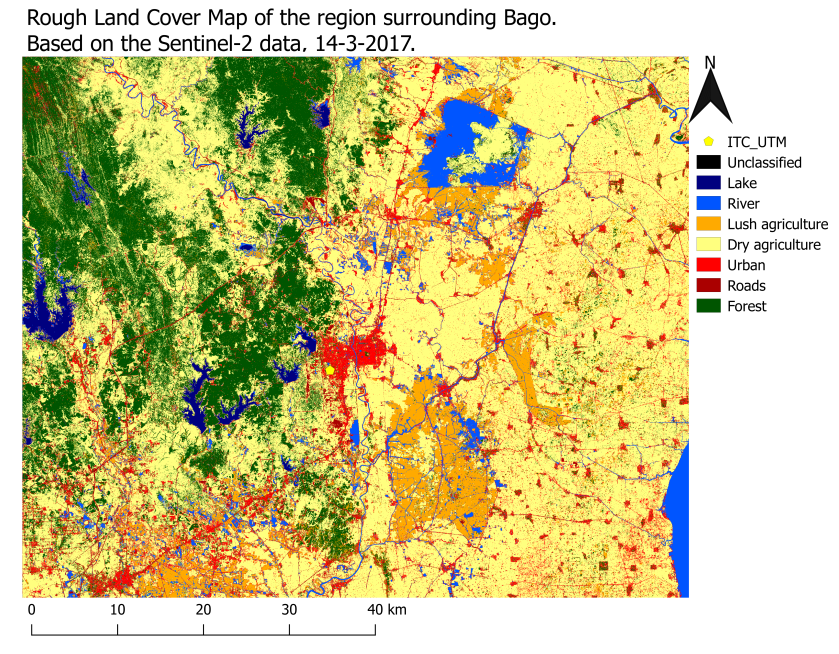
Supervised land classification based on Sentinel 2 data. Created using QGIS. 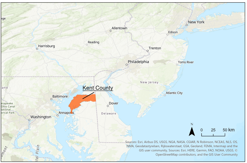
Kent County, Maryland. Created using ArcGIS Pro. 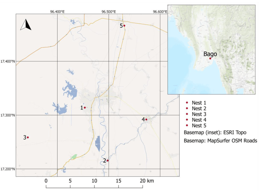
Sensor locations in Bago region, Myanmar, with an inset map. Created using QGIS.
